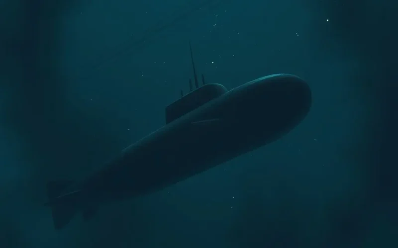
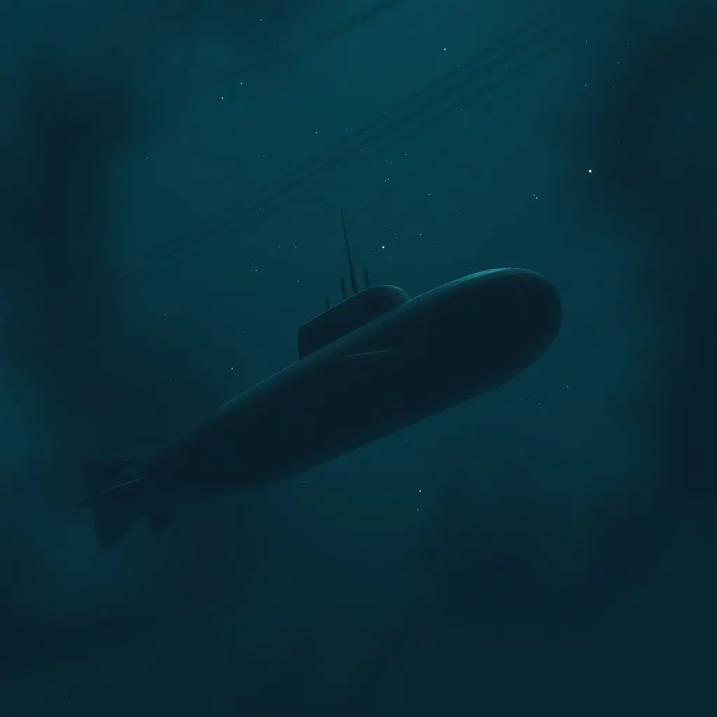
Ever pondered how colossal submarines, those silent hunters of the deep, manage to navigate the crushing, lightless abyss of the ocean without the one tool most modern vehicles rely on: GPS? It’s a bit of a head-scratcher, isn’t it? Radio waves, which GPS signals ride on, simply bounce off or get absorbed by water, rendering satellite navigation useless just a few feet below the surface. So, how do they know where they are, miles from shore, deep below the waves?
Their secret sauce lies in some truly ingenious engineering, specifically something called an Inertial Navigation System, or INS. Forget magic or psychic abilities; this is pure, brilliant physics and precise measurement at work. Imagine tracking every single step you take, every tiny shift in direction, every increase or decrease in speed, from the moment you leave your front door. That’s the fundamental idea behind INS.
Table of Contents
Why GPS Goes Dark Down Deep
Before we plunge into the depths of how submarines *do* navigate, it’s crucial to understand why they *can’t* use GPS. The Global Positioning System relies on a network of satellites orbiting Earth that transmit radio signals. A GPS receiver on the ground (or in a car, or on your phone) picks up signals from multiple satellites and uses the tiny time differences in their arrival to calculate its precise location via trilateration.
Water, particularly saltwater, is an excellent conductor of electricity. When radio waves hit conductive materials, they lose energy very quickly. This attenuation is why radio communication with submarines is so difficult and why GPS signals, which are relatively weak by the time they reach Earth, simply don’t penetrate more than a few feet into the ocean. For a submarine operating at hundreds or even thousands of feet below the surface, GPS is completely unavailable.
Enter the Inertial Navigation System (INS)
Since external signals are out, submarines must rely on systems that track their movement internally. This is where the Inertial Navigation System comes into play. At its core, an INS is a self-contained system that continuously calculates a vehicle’s position, orientation, and velocity without needing external references like GPS or celestial bodies (though these can be used to *update* the INS, as we’ll see).
Think of it as an incredibly sophisticated form of “dead reckoning,” a navigation method where you estimate your current position based on a previous position, the course you’ve steered, and the distance you’ve traveled.
The Sensitive Heart: Gyroscopes and Accelerometers
The brain of an INS is its Inertial Measurement Unit (IMU). This unit houses the crucial sensors that make inertial navigation possible:
Gyroscopes: Tracking Orientation
Gyroscopes are devices that measure or maintain orientation and angular velocity. Modern INS use highly advanced gyroscopes. Older systems might have used mechanical spinning wheels (like a spinning top wanting to maintain its orientation), while newer ones employ ring laser gyroscopes (RLGs) or fiber optic gyroscopes (FOGs). These optical gyros use lasers or light beams splitting and traveling along different paths. When the system rotates, the path lengths change due to the Sagnac effect, causing a detectable phase shift in the light waves. This phase shift is directly proportional to the angular velocity.
By constantly measuring the rate of rotation around three axes (pitch, roll, and yaw), the INS knows the submarine’s exact orientation in three-dimensional space at any given moment.

Accelerometers: Measuring Motion
Accelerometers measure linear acceleration – that is, how quickly the submarine’s velocity is changing in a straight line. An accelerometer typically consists of a proof mass suspended by a spring or other flexible element. When the system accelerates, the proof mass lags behind due to inertia, and the displacement or force required to keep it in place is measured. This measurement corresponds to the acceleration.
Just like gyroscopes, INS uses three accelerometers, oriented along perpendicular axes (fore/aft, port/starboard, and vertical). They measure acceleration in each direction.

The Integration Process: From Motion to Position
The real magic happens in the INS computer. It takes the constant stream of data from the gyroscopes (orientation) and accelerometers (linear acceleration) and performs complex mathematical calculations. Here’s a simplified look:
- The accelerometers measure acceleration in the INS’s frame of reference.
- The gyroscope data is used to orient these acceleration measurements relative to a fixed navigational frame (like North, East, and Down).
- The computer then integrates (a calculus term for summing up changes over time) the acceleration data once to get velocity.
- It integrates the velocity data a second time to get displacement (change in position) from the last known location.
Starting from a precisely known initial position, the INS continuously updates its estimated position by adding these calculated displacements. Velocity and position are updated many times a second, allowing the system to track the submarine’s path with impressive detail.
The Persistent Challenge: Drift Error
Even with incredibly precise sensors, tiny errors are unavoidable. Imagine measuring steps: each measurement might be off by a millimeter, but over thousands of steps, those tiny errors add up. This is the problem of “drift” in INS.
Any minute error in measuring acceleration or angular velocity, or in aligning the system initially, gets integrated over time, leading to a growing error in the calculated position. For a submarine on a long mission underwater, this drift means the INS’s calculated position will gradually diverge from the submarine’s true position.
Staying on Track: Mitigating Drift
Because of drift, submarines can’t rely *solely* on INS indefinitely. They need ways to correct or update their position periodically. This might involve:
- Coming to periscope depth: Briefly raising a periscope or antenna to take a GPS fix, observe celestial bodies (stars), or get radio navigation signals (if available). This provides a precise external reference to correct the accumulated INS error. This is a risky maneuver, though, as it makes the submarine detectable.
- Terrain Contour Matching (TERCOM) or Bottom Contour Navigation (BCN): Comparing measurements of the seafloor or terrain below to pre-surveyed maps to pinpoint location.
- Using other navigation aids: When closer to shore, they might use coastal navigation systems if possible.
These external fixes reset the INS, giving it a new, accurate starting point from which to continue its inertial calculations.
It’s truly fascinating how these vessels, operating in one of Earth’s most challenging environments, rely on such intricate internal systems to find their way. It’s a testament to human ingenuity and the power of applying fundamental physics principles.
If you found this dive into submarine navigation as deep as the Mariana Trench, you might enjoy this short explanation:
Frequently Asked Questions About Submarine Navigation
Q: How accurate is an Inertial Navigation System?
A: The accuracy of an INS depends heavily on the quality of its sensors. High-end, military-grade INS used in submarines are incredibly precise, but they still experience drift. The drift rate might be a fraction of a nautical mile per day, but over weeks underwater, this adds up, necessitating periodic corrections.
Q: Can submarines use sonar for navigation?
A: Yes, sonar is crucial for submarines, but primarily for detecting objects, mapping the seafloor (which can aid navigation like BCN), and avoiding obstacles. It’s not a primary system for continuous position tracking like INS.
Q: What happens if the INS fails?
A: Submarines have multiple redundant navigation systems. If the primary INS fails, they would switch to a backup INS or other available navigation methods, such as dead reckoning based on speed logs and compass headings, or external fixes when possible. Safety protocols ensure they are never entirely reliant on a single system.
Q: Is INS used anywhere else?
A: Absolutely! INS is vital for aircraft (especially commercial airliners for long flights), spacecraft, missiles, ships, and even some cars with advanced navigation features. Anywhere GPS might be unavailable, unreliable, or needs supplementing, INS is often part of the solution.
Beyond the Depths
The technology that allows a massive submarine to find its way in the vast, dark ocean is a marvel of engineering. Inertial Navigation Systems, with their ultra-precise gyroscopes and accelerometers, are truly the backbone of underwater navigation, enabling stealthy, independent operations. While drift is a constant battle, clever techniques for periodic updates ensure these hidden eyes of the deep can always chart their silent, secret path.
Related posts:
 How Noise-Cancelling Headphones Work: The Science Behind Your Silent Sanctuary
 AI in Personalized Education: Your Learning Path, Tailored Perfectly
 Lost and Found: How GPS Triangulation Pinpoints Your Spot
 Peering into the Abyss: The Incredible Tech Making Deep Sea Exploration Possible
 Unlocking the Mystery: How Your Smartwatch Actually Tracks Steps