Gazing at those mesmerizing, crystal-clear images of Earth from orbit, have you ever paused to ponder the sheer complexity involved in their creation? It’s a common misconception that these aren’t just snapshots taken by a cosmic camera. The reality is far more intricate, a sophisticated ballet of advanced technology, precise physics, and cutting-edge data science that literally paints our planet in perfect clarity.
It’s an art and a science that transforms raw light into breathtaking masterpieces, revealing Earth’s hidden beauty and critical changes. Before we dive deeper into the fascinating mechanics, take a quick peek at this engaging summary:
Table of Contents
The Eyes in the Sky: Advanced Sensing Technologies
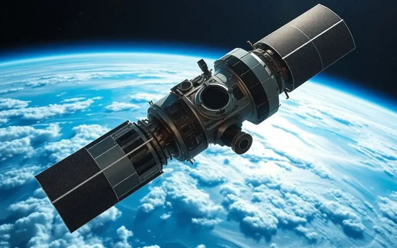
The magic begins not with a traditional camera lens, but with highly specialized instruments known as multi-spectral and hyperspectral sensors. These aren’t just glorified digital cameras; they are sophisticated light collectors designed to capture electromagnetic radiation far beyond the narrow sliver of visible light that human eyes can perceive. Think of them as super-powered eyes, capable of seeing in dozens, even hundreds, of different ‘colors’ at once.
- Multi-spectral Sensors: These sensors capture data across several distinct and wide spectral bands. For instance, a typical multi-spectral sensor might record visible light (red, green, blue), near-infrared (NIR), and short-wave infrared (SWIR). Each band offers unique insights. NIR, for example, is incredibly sensitive to plant health; healthy vegetation reflects a lot of NIR light, making it invaluable for agricultural monitoring and environmental assessment.
- Hyperspectral Sensors: Taking it a step further, hyperspectral sensors collect data from hundreds of very narrow, contiguous spectral bands. Imagine dissecting a rainbow into thousands of individual shades. This incredibly detailed spectral fingerprint allows scientists to identify specific materials on Earth’s surface, whether it’s distinguishing between different types of rocks, pinpointing mineral deposits, or even detecting specific types of pollution in water bodies.
These sensors are engineered to detect nuances in light reflection, absorption, and emission. From the subtle infrared glow indicating plant vigor or stress, to the ultraviolet signatures hinting at atmospheric composition, they gather an enormous amount of raw data. Satellites like Landsat, Sentinel, and MODIS are prime examples of missions equipped with these groundbreaking sensors, providing invaluable data for everything from land-use planning to climate change research.
Orbital Mechanics: The Dance of Precision
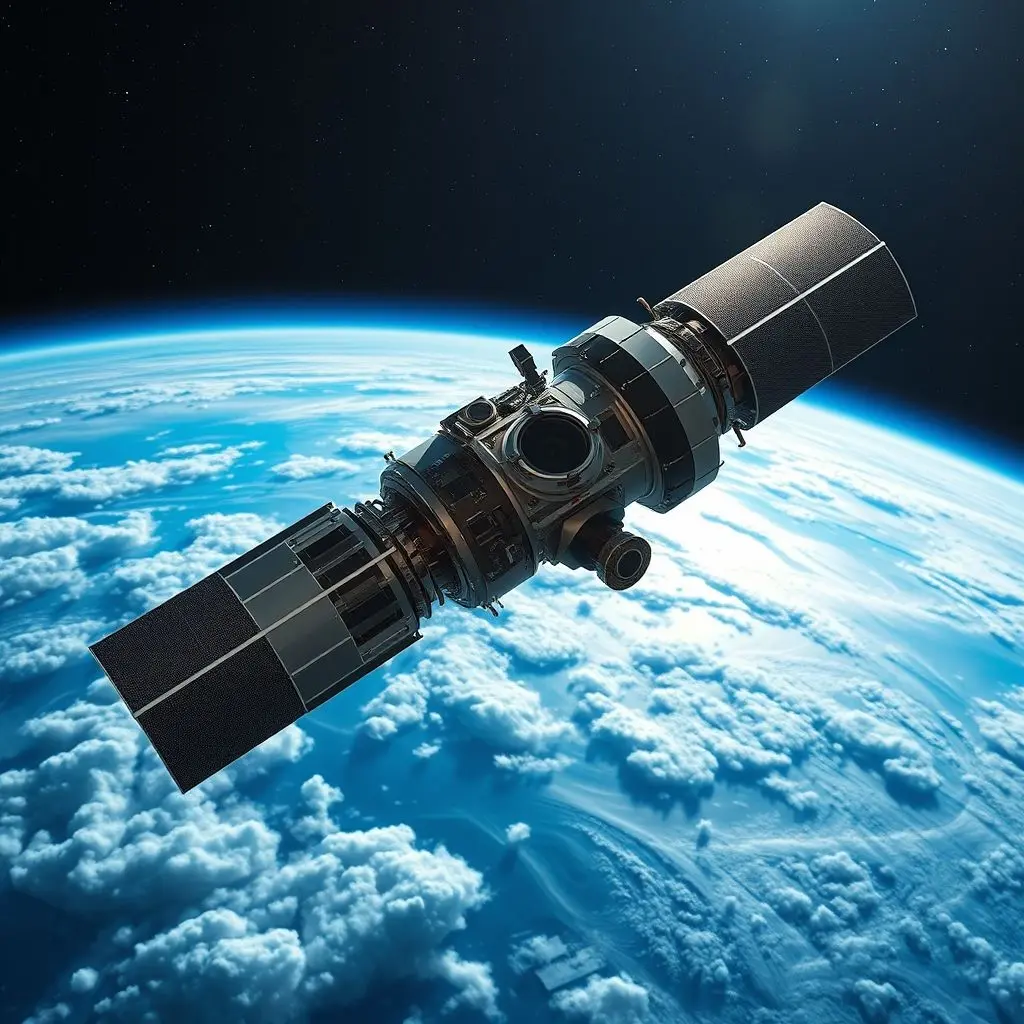
Capturing the ‘perfect’ shot isn’t just about having the right equipment; it’s also about being in the right place at the right time, consistently. This is where orbital mechanics come into play, a complex science that dictates a satellite’s path around our planet.
- Sun-Synchronous Orbits (SSO): Most Earth observation satellites reside in Sun-Synchronous Orbits. This ingenious orbital path means the satellite crosses the equator at roughly the same local solar time on each pass. Why is this critical? Because it ensures consistent lighting conditions for image acquisition over the same areas. Imagine trying to compare a photograph taken at noon with one taken at dusk – the shadows and light would be drastically different. SSO minimizes these discrepancies, allowing for accurate comparisons of changes over time.
- Geostationary Orbits: While less common for high-resolution imaging, geostationary satellites (orbiting at an altitude of approximately 35,786 kilometers) play a crucial role in continuous monitoring, particularly for meteorology. They remain over the same point on the equator, providing a constant, wide-angle view, though with lower spatial resolution for ground features compared to SSO satellites.
- Revisit Time and Swath Width: The frequency with which a satellite passes over a specific area (revisit time) and the width of the ground area it can image in a single pass (swath width) are critical design parameters. A shorter revisit time allows for more frequent updates, essential for monitoring dynamic events like floods or wildfires.
Before a satellite even leaves Earth, its trajectory is meticulously calculated. Once in space, onboard propulsion systems and sophisticated attitude control mechanisms ensure it maintains its precise orbit and orientation, pointing its sensors accurately towards our planet.
From Raw Data to Masterpiece: The Art of Image Processing
Once the multi-spectral and hyperspectral sensors have gathered their voluminous raw data, the journey to a stunning Earth photo is only halfway complete. This raw data is essentially a stream of numbers, far from the vibrant, intuitive images we see. It requires an intricate dance of sophisticated algorithms and human expertise to transform into actionable and aesthetically pleasing visuals.

1. Atmospheric Correction
Imagine taking a photo through a hazy window. Earth’s atmosphere, with its ever-present aerosols, dust, and water vapor, acts as a gigantic, often hazy, filter. Before any meaningful analysis or visual representation can occur, this atmospheric interference must be removed. Sophisticated radiative transfer models and algorithms estimate the effect of the atmosphere on the light signal and correct for it, revealing the true reflectance characteristics of the Earth’s surface.
2. Geometric Correction and Orthorectification
Satellites are moving at thousands of kilometers per hour, and the Earth itself is curved and rotating. This leads to inherent distortions in the raw imagery. Geometric correction aligns each pixel to its precise geographical coordinates on Earth, removing errors caused by the satellite’s movement, sensor tilt, and Earth’s curvature. Orthorectification takes this a step further, correcting for topographic variations (mountains, valleys) using Digital Elevation Models (DEMs), ensuring that the image is as geometrically accurate as a map.
3. Radiometric Calibration and Correction
Sensors can drift over time, and different sensors (even on the same satellite) might have slight variations in their response to light. Radiometric calibration converts the raw digital numbers (DNs) from the sensor into physically meaningful units, like radiance or reflectance. This ensures consistency across different images, different sensors, and different acquisition times, making comparisons accurate and reliable.
4. Image Stitching and Mosaicking
A single satellite pass typically covers a narrow strip of land. To create wider area views or images of entire countries/continents, countless individual image strips must be meticulously stitched together into a seamless mosaic. This process involves careful alignment and blending to eliminate visible seams, color discrepancies, and intensity variations between adjacent images.
5. Color Calibration and Enhancement
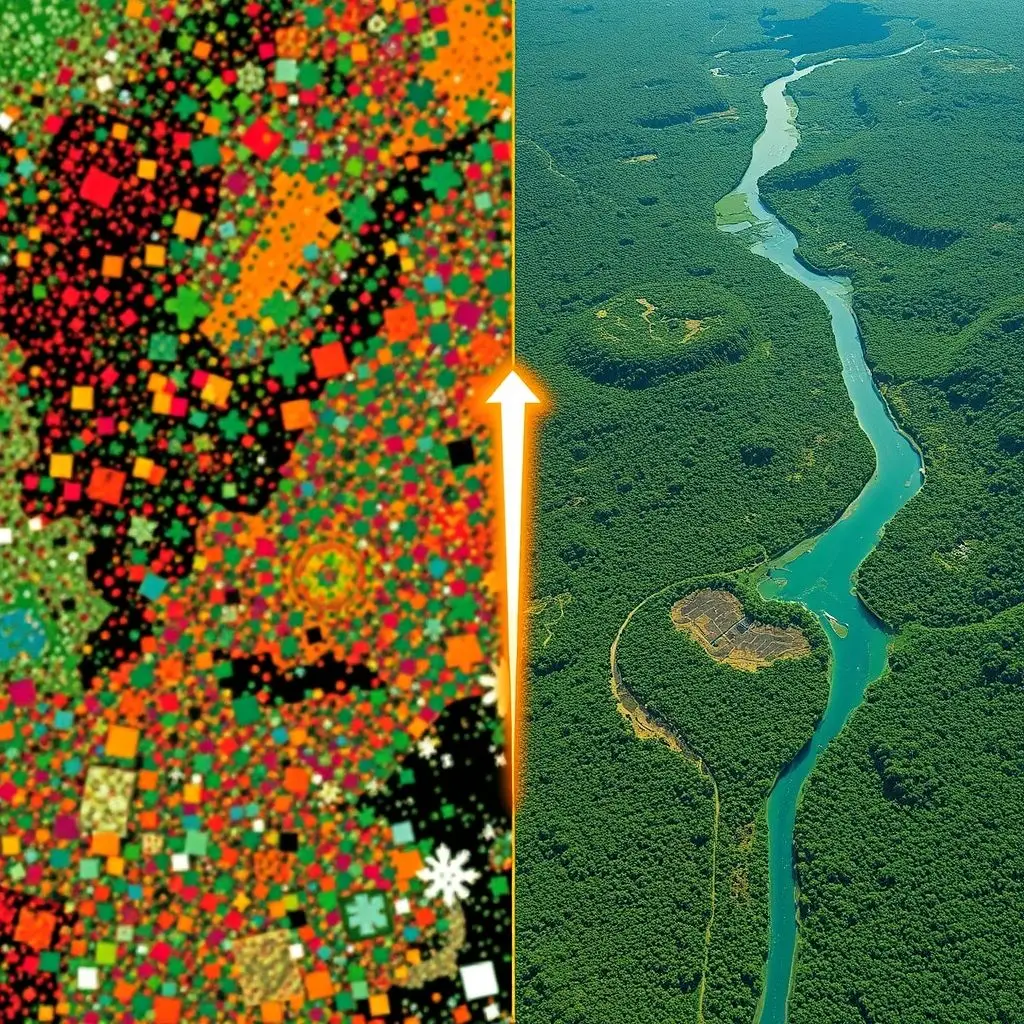
The choice of how to display the collected spectral bands is crucial. For ‘true color’ images, the red, green, and blue bands are assigned to their respective color channels, mimicking what human eyes would see. However, for scientific analysis, ‘false color’ composites are often created by assigning non-visible bands (like infrared) to visible color channels, highlighting specific features (e.g., vegetation in bright red). Further enhancements, like contrast stretching and histogram equalization, improve visual clarity without compromising data integrity.
6. Resolution Enhancement (Pansharpening)
Many Earth observation satellites carry both a high-resolution panchromatic (black and white) sensor and lower-resolution multi-spectral sensors. Pansharpening is a technique that merges the detailed spatial information from the panchromatic band with the rich spectral information from the multi-spectral bands to create a single, high-resolution color image. This dramatically improves the clarity and detail of the final output.
Beyond Pretty Pictures: Real-World Applications of Earth Observation
The quest for ‘perfect’ Earth photos is not merely an aesthetic pursuit. These meticulously crafted images are vital tools that empower scientists, policymakers, and communities worldwide to understand, monitor, and protect our planet.
- Climate Change Monitoring: Tracking melting glaciers and ice caps, measuring sea-level rise, monitoring deforestation rates, and assessing changes in atmospheric CO2 levels.
- Disaster Management: Providing rapid assessments of damage from floods, wildfires, hurricanes, and earthquakes, aiding in rescue efforts and recovery planning.
- Agriculture and Food Security: Monitoring crop health, predicting yields, detecting signs of drought or disease, and optimizing irrigation practices.
- Urban Planning and Development: Mapping urban sprawl, monitoring infrastructure development, and managing resources in rapidly growing cities.
- Environmental Protection: Detecting illegal deforestation, tracking oil spills, monitoring water quality in lakes and oceans, and assessing biodiversity.
- Resource Management: Identifying potential mineral deposits, monitoring water reserves, and managing forest resources sustainably.
Every ‘perfect’ image tells a story, offering an unparalleled perspective on the dynamic systems that govern our world.
Frequently Asked Questions About Satellite Imagery
Q1: How often do satellites capture images of the same location?
A1: The revisit time varies significantly depending on the satellite and its mission. Some satellites, like those in a constellation (e.g., Planet Labs’ Dove satellites), can image almost every point on Earth daily. Others, like Landsat, might revisit a specific spot every 16 days. For dynamic events, tasking satellites can be redirected for more frequent observation.
Q2: Are all satellite images ‘true color’ as we see them?
A2: Not necessarily. While many publicly available images are processed into ‘true color’ composites for visual appeal, a vast amount of scientific and analytical work utilizes ‘false color’ composites. These assign non-visible light bands (like infrared) to visible color channels to highlight features that are invisible to the naked eye, such as vegetation health or water turbidity.
Q3: What determines the resolution of a satellite image?
A3: Resolution is primarily determined by the sensor’s design (e.g., the size of its pixels, its focal length) and the satellite’s altitude. Lower orbits and more advanced optics generally lead to higher spatial resolution, allowing finer details on the ground to be distinguished. Commercial satellites can achieve sub-meter resolution, meaning features less than a meter across can be seen.
Q4: How much does it cost to get a satellite image?
A4: The cost varies widely. Many government-funded programs (like Landsat and Sentinel) offer their data for free for research and public use. Commercial satellite imagery, especially high-resolution or custom-tasked imagery, can range from a few dollars per square kilometer to thousands of dollars depending on the area, resolution, and licensing terms.

A Cosmic Grace, Crafted with Precision
The stunning satellite images that adorn our screens and scientific papers are far more than simple photographs. They are the culmination of an extraordinary journey, from the precise launch and orbital ballet of sophisticated machines to the intricate dance of light beyond our perception, and finally, to the diligent work of algorithms and human analysts. It’s a testament to human ingenuity, allowing us to not only marvel at our home planet’s beauty but also to understand its pulse, monitor its health, and safeguard its future with unprecedented clarity. From distant eyes, a cosmic grace, Earth’s secrets bright, find their place. Beyond our sight, the sensors gleam, crafting perfection, a vivid dream. If your mind just had a perfect shot of understanding, consider launching that like button on our short video above! And be sure to subscribe for more orbit-shifting tech insights.
