Ever wondered if the ground beneath our feet holds secrets far older than anything we see on the surface? What if entire chapters of human history, lost civilizations, and ancient pathways were just waiting to be found, hidden from view?
For centuries, archaeologists have relied on painstaking fieldwork, excavations, and chance discoveries to piece together our past. It’s a noble, dirt-under-the-fingernails quest. But what if technology could give us a helping hand – or perhaps, something akin to X-ray vision from space?
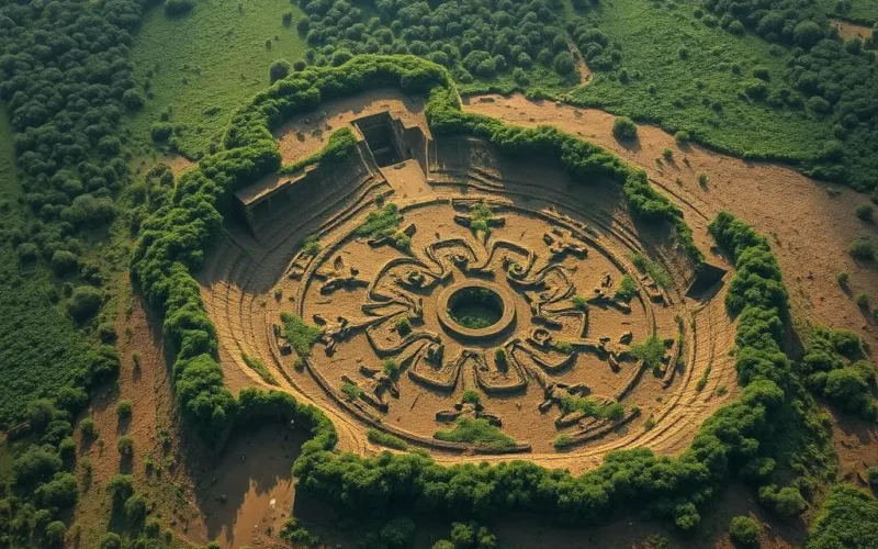
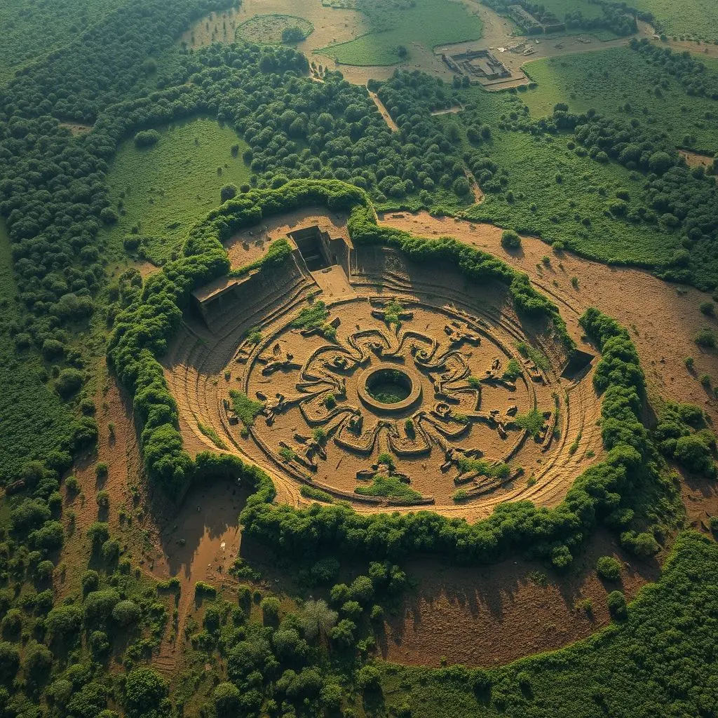
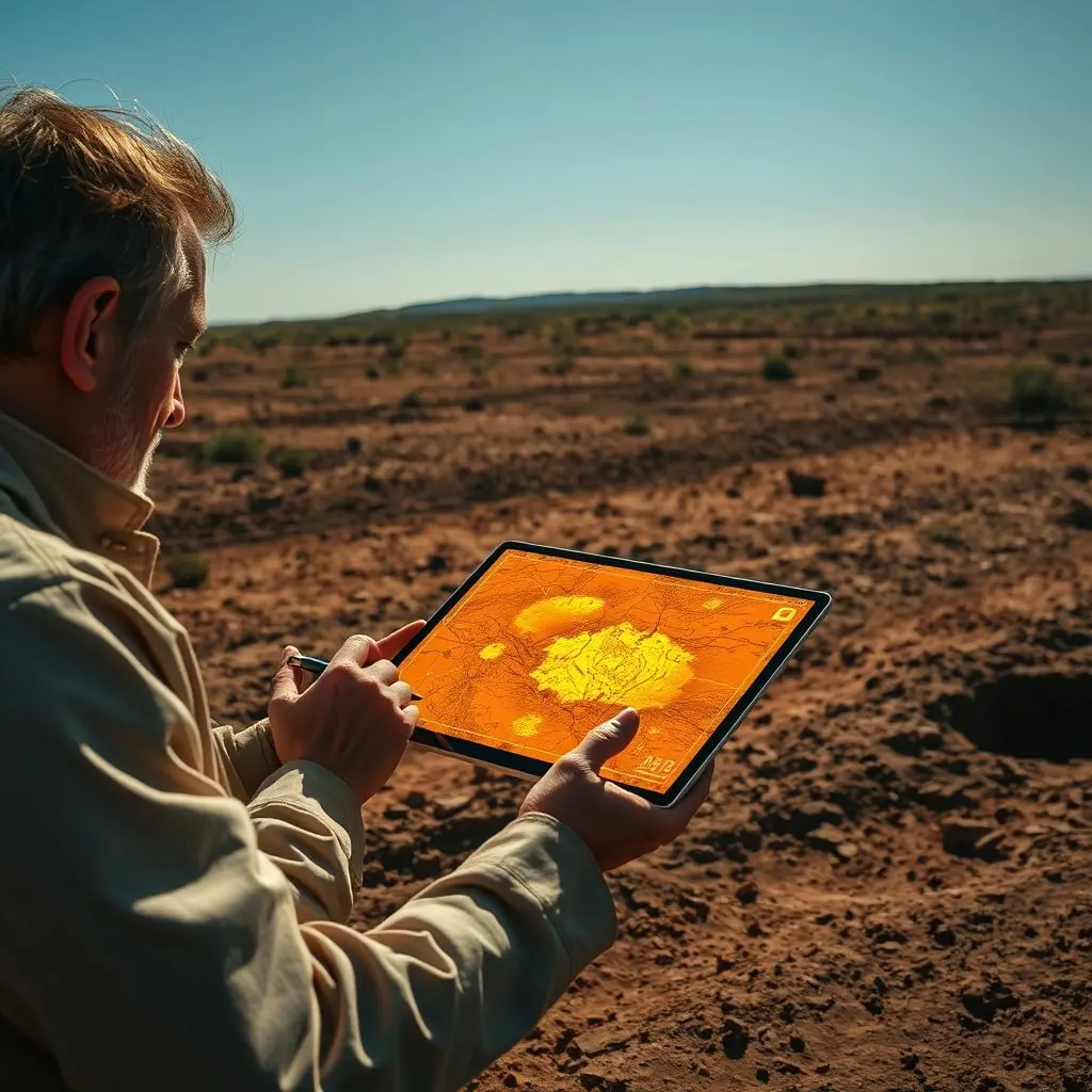
That’s where the exciting field of AI Archaeology steps in. Imagine sophisticated artificial intelligence algorithms tirelessly scanning vast stretches of satellite data. They’re not just looking at pretty pictures; they’re hunting for subtle clues that the human eye, even a trained one, might easily overlook.
These clues can be incredibly faint: minuscule changes in soil moisture, slight variations in vegetation growth patterns, barely perceptible rises or dips in the landscape, or even faint traces of ancient earthworks invisible from the ground due to erosion or overgrowth. These are the ghost signatures of structures and settlements long buried by time and nature.
It’s a powerful new blend of cutting-edge artificial intelligence and the age-old human drive to understand where we came from, potentially revealing forgotten eras and uncovering sites in places previously thought inaccessible, like dense rainforests or vast, empty deserts.
For a quick peek at this fascinating concept, check out this short video:
Table of Contents
Why Finding Lost Sites is So Hard (and Why We Need New Tools)
Traditional archaeology is incredibly effective, but it’s also challenging and often limited by practical constraints. Locating sites, especially those not marked by monumental ruins, requires extensive surveys, walking vast areas, relying on historical texts, or even local folklore.
Many sites are buried deep under sediment, obscured by thick vegetation, or simply blend seamlessly into the modern landscape after centuries of decay. Excavation, while essential for detailed study, is destructive and time-consuming. Covering large or remote areas with traditional methods is simply not feasible.
This is why archaeologists have long turned to methods of remote sensing – techniques that allow them to detect features without physical contact.
The Foundation: Remote Sensing from Above
The idea of looking down to find things on the ground isn’t new in archaeology. Aerial photography, especially after World War I, became a crucial tool. Pilots noticed “cropmarks” or “soilmarks” – differential growth or color changes in crops and soil that outlined buried features like walls or ditches.
Later technologies like satellite imagery, LiDAR (Light Detection and Ranging), and thermal imaging provided even more data. LiDAR, for instance, can penetrate dense forest canopy to map the ground surface below, revealing hidden mounds, terraces, and pathways.
However, interpreting these massive datasets still required immense human effort. Experts would spend countless hours poring over images, looking for those subtle, tell-tale signs.
Introducing AI: Giving Remote Sensing ‘Eyes’
This is where artificial intelligence revolutionizes the process. Instead of a human eye scanning terabytes of data, AI algorithms can be trained to do the searching, only much faster and more efficiently. Machine learning models are particularly adept at identifying patterns that are too complex, too faint, or too numerous for humans to consistently spot.
The core principle is training the AI on known archaeological sites visible in satellite or aerial data. By analyzing the unique spectral signatures (how light reflects off surfaces), textural patterns, shape characteristics, and spatial relationships of these known sites, the AI learns what ancient human activity looks like from orbit. Then, it applies this learning to scan new, unknown areas.
Think of it like teaching a computer to recognize a specific type of tree in millions of photos. You show it examples, and it learns the features. In AI Archaeology, you show it examples of buried canals, foundation outlines, or settlement mounds visible from above, and it learns to find similar features elsewhere.

How the Magic Happens: The AI Archaeology Workflow
The process typically involves several key steps:
Data Acquisition: Gathering high-resolution satellite imagery, aerial photos, LiDAR data, and sometimes even historical maps or drone surveys of a target area.
Data Preprocessing: Cleaning, correcting, and aligning the data. This can involve removing atmospheric distortions, stitching images together, and ensuring all data layers match geographically.
AI Model Training: Using machine learning algorithms (like deep learning or convolutional neural networks) and existing archaeological data to train the AI to recognize specific features.
Pattern Detection: Deploying the trained AI model to scan the vast, unexplored datasets. The AI identifies anomalies – areas that show statistical variations from the natural landscape that are consistent with buried or subtle anthropogenic (human-made) features.
Candidate Identification: The AI outputs potential locations or “candidates” for archaeological sites. These might be highlighted areas on a map showing potential building foundations, field systems, or roads.
Human Review: This is a critical step! Archaeologists review the AI’s findings. The AI might flag thousands of anomalies, many of which could be geological features, modern structures, or natural variations. Experts analyze the candidates to determine which are the most promising and warrant further investigation.
Ground Truthing: The final, essential step. Archaeological teams visit the high-priority locations identified by the AI to confirm whether they are indeed ancient sites. This might involve walking the area, conducting small test excavations, or using non-destructive geophysical surveys (like ground-penetrating radar) to verify the findings.
Real-World Triumphs: AI Archaeology in Action
AI-powered remote sensing is already yielding impressive results in various parts of the world:
Finding Ancient Infrastructure: In arid regions like the Arabian Peninsula, AI has helped locate thousands of previously unknown stone structures and “gates” – potential corral-like enclosures – that stretch across the landscape, invisible at ground level but clear from orbit.
Mapping Lost Cities in Jungles: By processing LiDAR data that pierces thick forest canopies, AI assists in revealing the sprawling layouts of Maya cities and agricultural systems in Central America or uncovering networks in the Amazon rainforest, showing ancient populations were far larger and more interconnected than previously thought.
Discovering Roman Camps: Algorithms have been trained to identify the distinctive rectangular shapes of temporary Roman marching camps across Europe, even when only faint soil disturbances remain.
Surveying Vast Landscapes: Projects are using AI to scan enormous areas, like the entirety of Peru, to identify potential geoglyphs, settlements, and lines invisible from the ground, building upon earlier work that used traditional satellite analysis to find features like the Candelabra of the Andes.

The Game-Changing Potential
The impact of AI Archaeology is profound:
Speed and Scale: AI can process data covering thousands of square kilometers in a fraction of the time it would take human analysts.
Accessing Inaccessible Areas: It allows for the initial survey of regions that are politically unstable, physically dangerous, or simply too remote and vast for traditional ground surveys.
Non-Destructive Exploration: The initial detection is done remotely, without disturbing the ground, helping preserve sites.
Identifying Subtle Features: AI can pick up on patterns too faint or complex for humans, revealing entirely new types of sites or a greater density of known site types.
Not Science Fiction: Challenges and the Human Element
While incredibly promising, AI Archaeology isn’t a magic bullet. Challenges remain:
Data Quality: The AI is only as good as the data it processes. Cloud cover, low resolution, or poor image quality can limit effectiveness.
False Positives: AI can flag natural geological formations or modern features that resemble ancient sites, requiring careful human review.
Context is King: AI excels at pattern recognition, but understanding the historical context, cultural significance, and interconnections between sites still requires human expertise and traditional archaeological methods.
Ethical Considerations: Rapid discovery raises questions about site protection, ownership of data, and equitable access to this technology.
Crucially, AI Archaeology is a tool to augment, not replace, human archaeologists. It frees up experts from tedious data scanning so they can focus on interpretation, ground-truthing, and the essential work of excavation and analysis that turns data points into historical narratives.
Looking Towards the Horizon
The future of AI in archaeology is bright. As satellite technology improves (higher resolution, more spectral bands) and AI algorithms become more sophisticated, our ability to peer into the past from above will only increase. We may find that landscapes we thought were “empty” were, in fact, once thriving centers of human activity, just waiting for AI to whisper their location from the skies.
This synergy between ancient history and cutting-edge technology promises to uncover countless more lost cities, forgotten roads, and hidden settlements, adding incredible detail to the rich tapestry of human history scattered across our planet.
Frequently Asked Questions About AI Archaeology
Q: Is AI Archaeology replacing traditional fieldwork?
A: No, not at all. AI is a powerful tool for initial detection and survey, especially over large or inaccessible areas. Traditional fieldwork (excavation, ground surveys, analysis) remains absolutely essential for verifying AI findings, gathering detailed information, and interpreting the historical context of sites.
Q: What kind of satellite data is used?
A: It varies depending on the project, but often includes high-resolution optical imagery (like from commercial satellites), multispectral or hyperspectral data (capturing light beyond visible colors to detect subtle material differences), and radar or LiDAR data (useful for penetrating vegetation and mapping topography).
Q: Can AI find sites buried very deep underground?
A: AI analyzing surface-level satellite or aerial data (optical, standard radar) relies on indirect signs like subtle changes in topography, soil color, or vegetation health that are influenced by buried features. Technologies like ground-penetrating radar (GPR) or advanced seismic methods can – and are increasingly being combined with AI – to look deeper, but standard orbital data is best at finding sites that leave some subtle signature near the surface.
Q: Is this technology expensive?
A: High-resolution satellite data can be costly, and developing and training sophisticated AI models requires significant expertise and computing power. However, the potential to rapidly survey vast areas can make it cost-effective compared to traditional methods over the long term for large-scale projects. Access to open-source data and AI tools is also making it more accessible.
Q: How accurate is the AI?
A: Accuracy varies greatly depending on the data quality, the type of features being searched for, the landscape, and the sophistication of the AI model. AI will inevitably produce false positives. This is why the human review and mandatory ground-truthing steps are crucial to confirm which AI-flagged anomalies are genuine archaeological sites.
If you dug this fact as much as AI digs for cities, hit that like button! And subscribe – we promise not to bury the cool stuff.
Related posts:
 How Satellites Stay in Orbit: The Ultimate Cosmic Balancing Act
 The Browser History Myth: Why Clearing It Doesn’t Delete Everything
 AI in Action: Revolutionizing Disaster Response with Drones, Prediction, and Logistics
 Kodak’s Secret: Unearthing the Story of the First Digital Camera
 Flying Green: How Seed Bombing Drones Are Taking Reforestation Sky-High